|
NCR Regional Plan 2041
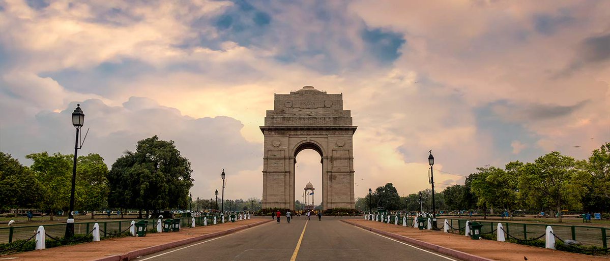
The National Capital Region Planning Board (NCRPB) approves a proposal under the Regional Plan 2041 to develop four semi-greenfield Namo Cities. The Regional Plan 2041 governs multi-state planning across Delhi, Haryana, Uttar Pradesh, and Rajasthan, including land use, housing, transport, and environment. The Namo Cities are proposed along Namo Bharat (RRTS) stations and are distributed one each across the four states.
Regional Plan 2041 and Namo Cities (NCR):
| Dimension | Key Details |
|---|---|
| Approving Authority | The Regional Plan 2041 is approved by the National Capital Region Planning Board (NCRPB). |
| Coverage Area | The Regional Plan 2041 governs 55,083 sq.km. |
| Covered Regions | The Regional Plan 2041 applies to Delhi, Haryana, Uttar Pradesh, and Rajasthan. |
| Sectors Governed | The Regional Plan 2041 governs land use, housing, transport, and environment. |
| Population Projection | The plan projects population to rise from 7.86 crore in 2026 to 14.73 crore by 2041. |
| Urbanisation Projection | Urbanisation is expected to rise to 67% by 2041. |
| Growth Hotspots | Future growth hotspots comprise Sonipat, Meerut, Jewar, Bhiwadi, and Alwar. |
| Current Trigger | NCRPB has approved the proposal to develop 4 semi-greenfield Namo Cities under the Regional Plan 2041. |
| Namo Cities: Nature and Development Model | Namo Cities comprise semi-greenfield, mixed-use, Transit-Oriented Development (TOD) cities. |
| Namo Cities: Location | Namo Cities are proposed along Namo Bharat (RRTS) stations. |
| Namo Cities: Distribution Mandate | The 4 Namo Cities are mandated to be distributed equally: 1 each across Delhi, Haryana, Uttar Pradesh, and Rajasthan. |
| RRTS: Design | The Regional Rapid Transit System (RRTS) is a semi-high-speed, high-frequency regional rail network designed to connect major cities with nearby satellite towns. |
| RRTS: Speed | RRTS provides for speeds up to 160 km/h. |
| Namo Cities: Objective | The proposal provides for self-sustaining settlements with local employment hubs, housing, and civic infrastructure to reduce dependence on Delhi. |
| 30-Minute NCR Vision | The plan provides for a “30-Minute NCR” vision to connect jobs, homes, and services within half an hour through RRTS, metro, highways, and rail networks. |
| Green Cover Incentives | States are incentivised to expand canopy cover using green credits and Special Development Rights (SDRs). |
| Urban Design Provisions | The plan provides for rationalisation of Floor Area Ratio (FAR) and Floor Space Index (FSI) around transit corridors to unlock housing and commercial supply. |
| Integration with Major Assets | The plan is linked with Noida International Airport, Yamuna Expressway, Dwarka Expressway, and expanding metro and RRTS networks. |