|
India and Mali Permanent Missions Mark World Cotton Day
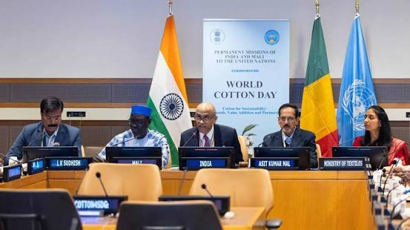
The Permanent Missions of India and Mali commemorate World Cotton Day at the United Nations Headquarters in New York. The news highlights key factual points related to Mali’s location, borders, and physical geography.
Key Facts About Mali:
| Dimension | Key Details |
|---|---|
| Location | Mali comprises a landlocked country in West Africa. |
| Bordering countries | Mali shares borders with Algeria (north), Niger and Burkina Faso (east), Côte d’Ivoire and Guinea (south), and Senegal and Mauritania (west). |
| Capital | Bamako comprises the capital city of Mali. |
| Climate pattern | It experiences a tropical savanna climate in the south, becoming a desert climate in the north. |
| Topography | Approximately 65% of the country is covered by desert or semi-desert. |
| Desert coverage | The Sahara Desert makes up a large portion of Mali’s total land area. |
| Landscape transition | The landscape transitions from the Sahara Desert in the north through the Sahel to the zone of Sudanian savanna in the south. |
| Major river | The Niger River flows through its interior, serving as its main source of water. |
| Highest point | Hombori Tondo comprises Mali’s highest point at 3,789 ft (1,155 m). |
| Natural resources | Natural resources include gold, uranium, diamonds, copper, iron ore, precious stones, zinc, manganese, and bauxite. |