|
Greenland geography
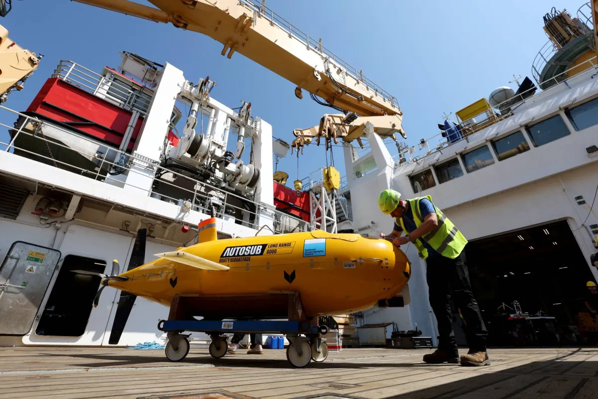
An international team of scientists sets sail for Greenland to investigate whether rapidly melting glaciers could disrupt a major Atlantic Ocean current system. Greenland’s location, political status, and physical geography are in focus due to this ongoing scientific investigation.
Greenland :
| Dimension | Key Details |
|---|---|
| Location | Greenland is located between the continents of North America and Europe in the North Atlantic Ocean. |
| Size | Greenland is the world’s largest (non-continent) island. |
| Geographical Classification | Greenland is geographically considered a part of the North American continent. |
| Political Status | Greenland is an autonomous province of Denmark, and it was once a Danish colony. |
| Borders and Surrounding Water Bodies | Greenland is surrounded by the Arctic Ocean to the north, the Greenland Sea to the east, the North Atlantic Ocean to the southeast, Davis Strait to the southwest, and Baffin Bay to the west. |
| Capital | The capital city of Greenland is Nuuk. |
| Climate | Greenland is in the polar zone, where winter temperatures reach as low as -50°C and summer temperatures rarely exceed 10–15°C. |
| Highest Point | The highest point in Greenland is Gunnbjorn’s Fjeld. |
| Natural Resources | Greenland mainly comprises coal, iron ore, lead, zinc, molybdenum, diamonds, gold, platinum, and niobium. |