|
Popocatépetl Stratovolcano in Central Mexico: Trans-Mexican Volcanic Belt and Ring of Fire
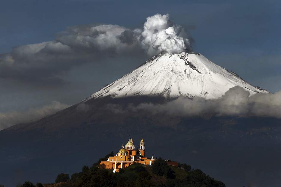
Scientists release the first 3D images of Popocatépetl volcano’s interior using AI and five years of seismic data to map magma accumulation zones. Popocatépetl is an active stratovolcano in central Mexico and is closely monitored due to its frequent activity and proximity to a population of nearly 30 million people.
Popocatépetl Stratovolcano :
| Dimension | Key Details |
|---|---|
| Type | Active stratovolcano. |
| Location | Central Mexico. |
| Activity status | Active since 1994; daily plumes of smoke, gas and ash. |
| Global activity ranking | One of the world’s most active volcanoes. |
| Height / rank in country | 2nd-highest peak in Mexico; rises to 5,426 meters (17,802 ft). |
| Ring of Fire | Oe of the most dangerous volcanoes in the Ring of Fire. |
| Name etymology | Derived from the Nahuatl words for “Smoking Mountain”. |
| Geological setting | Part of the Trans-Mexican Volcanic Belt. |
| Tectonic setting | Lies above a subduction zone where the Cocos Plate subducts beneath the North American Plate. |
| Formation | Emerges in the crater of other volcanoes in its current form more than 20,000 years ago. |
| Eruption mechanism | Activity periodically forms a dome over the main vent; the dome eventually collapses, causing an eruption. |
| Human activity (early 20th century) | Humans use dynamite to extract sulfur from the crater; this provokes an eruption. |
| Traditional customs | A bottle of tequila placed near a rocky hollow known as “El Popo’s belly button” reflects traditional customs, including an annual pilgrimage. |
| Monitoring trigger | Frequent activity is closely monitored due to proximity to a population of nearly 30 million people. |