|
Majuli Island palaeoecology
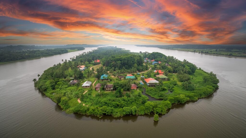
Scientists from the Birbal Sahni Institute of Palaeosciences (BSIP), Lucknow carry out a palaeoecological study on Majuli Island, Assam. The study reconstructs nearly 4,000 years of Majuli’s climate and vegetation history using multiple scientific proxies.
Majuli Island Palaeoecology Study (Assam):
| Dimension | Key Details |
|---|---|
| Institution | The palaeoecological study is carried out by scientists from the Birbal Sahni Institute of Palaeosciences (BSIP), Lucknow. |
| Study output | The study reconstructs nearly 4,000 years of climate and vegetation history of Majuli Island. |
| Majuli: classification | Majuli Island is described as the world’s largest inhabited river island. |
| Cultural significance | Majuli is culturally significant as the settlement of several tribes and as a major centre of Neo-Vaishnavite culture, a reformist Vaishnavism movement. |
| Indigenous tribal groups | Majuli is home to indigenous tribal groups like the Misings, Deoris, and Sonowal Kacharis. |
| Riverine setting | Majuli is perched between the Brahmaputra River to the south and east, the Subansiri River to the west, and a branch of the Brahmaputra to the north. |
| Preservation status | Assam has banned the sale of land in Majuli to outsiders, defined as outside families residing there for 3 generations. |
| Palynological evidence | The study utilises fossilised pollen records preserved in sediments to reconstruct past plant coverage and vegetation transitions. |
| Multi-proxy approach | The study integrates biological data (pollen analysis) with geological data (grain-size analysis of sediments) to understand correlation between climate change and river hydrodynamics simultaneously. |
| Coexistence approach | The coexistence approach provides a quantitative paleoclimatic technique to estimate past Mean Annual Temperature (MAT) and Mean Annual Precipitation (MAP). |
| Chronology: 4040–2260 cal. yrs. BP | This time frame comprises an early warm and humid phase with dense forest cover, and it maintains stability despite the global 4.2 ka dry climatic event. |
| Chronology: 1100–500 cal. yrs. BP | This time frame comprises fluctuating monsoon intensities, highly erratic flood regimes, and a distinct moist period, and it corresponds directly with the Medieval Climatic Anomaly (MCA). |
| Chronology: last 500 years to present | This time frame comprises dropping temperatures, reduced rainfall, and shrinking forests into scattered vegetation, and it aligns with the Little Ice Age (LIA) while flagging the rise of dominant anthropogenic pressures. |
| Hydrodynamic instability | Grain-size data indicates a structural shift over millennia from low-energy to high-energy fluvial conditions, showing the Brahmaputra river system grows increasingly volatile and aggressive over time. |
| Climate forcing | The strong alignment between local vegetation changes and global shifts (including the Medieval Warm Period and Little Ice Age) indicates Northeast Indian river ecosystems are highly sensitive to global climate drivers. |
| Study claim | This study presents the first comprehensive multi-proxy (pollen and grain-size) reconstruction of long-term climate-vegetation dynamics and river processes on Majuli Island. |