|
India–China Boundary Dispute
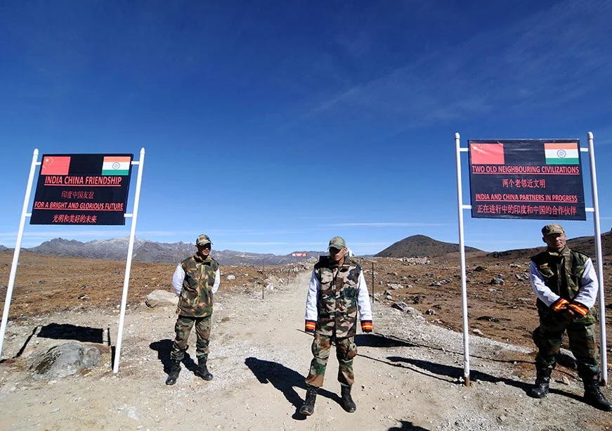
The 35th meeting of the Working Mechanism for Consultation & Coordination on India-China Border Affairs (WMCC) is currently in focus for review of the situation in the India-China border areas. The key disputed sectors and stated principles for settlement of the India–China boundary dispute.
India–China Boundary Dispute:
| Dimension | Key Details |
|---|---|
| Origin | The dispute comprises different perceptions of the Line of Actual Control (LAC). |
| India’s land boundary lengths | India’s land boundary with China comprises 3488 km, and India’s land boundary with Bangladesh comprises 4096.7 km. |
| 1865 proposal | In 1865, WH Johnson of the Survey of India proposes the ‘Johnson Line’, which comprises placement of Aksai Chin within Jammu and Kashmir, and it is refused by a Chinese dynasty. |
| Simla meeting, 1914 | The 1914 Simla meeting between British India, Tibet, and China proposes the McMahon Line, which comprises a line from Bhutan to Burma (now Myanmar), and it is opposed by China. |
| Conflict | The dispute comprises the 1962 India–China War, and it involves China’s attack on India. |
| Western Sector | The Western Sector comprises Ladakh–Aksai Chin, Aksai Chin is under China’s control, and Aksai Chin is claimed by India as part of Ladakh. |
| Middle Sector | The Middle Sector comprises Kauirik Lahaul and Spiti Valley (Himachal Pradesh), Bara Hoti and Nelang Valley (Uttarakhand). |
| Eastern Sector | The Eastern Sector comprises mainly Arunachal Pradesh, and Arunachal Pradesh, especially the Tawang region, is claimed by China as “South Tibet” (Zàng Nán). |
| Sikkim Sector | The Sikkim Sector comprises Nathu La pass, the Naku La sector, Cho La, Mount Gipmochi, Batang La, and the Doklam Plateau; the Doklam Plateau is situated at the tri-junction of India, China, and Bhutan, and adjoining Jampheri Ridge. |
| Settlement framework | The 2005 Framework comprises a package settlement through a three-step process: political parameters, a settlement framework, and final delineation and demarcation of the boundary. |
| Principle: LAC stability | The stated approach mandates peace and tranquility on the LAC as a precondition for progress, and mandates opposition to unilateral changes and persistent buffer zones. |
| Principle: Comprehensive political settlement | The stated approach mandates meaningful political negotiations on the entire boundary issue. |