|
UN World Map Shows Arunachal Pradesh and Aksai Chin Between Claim Lines
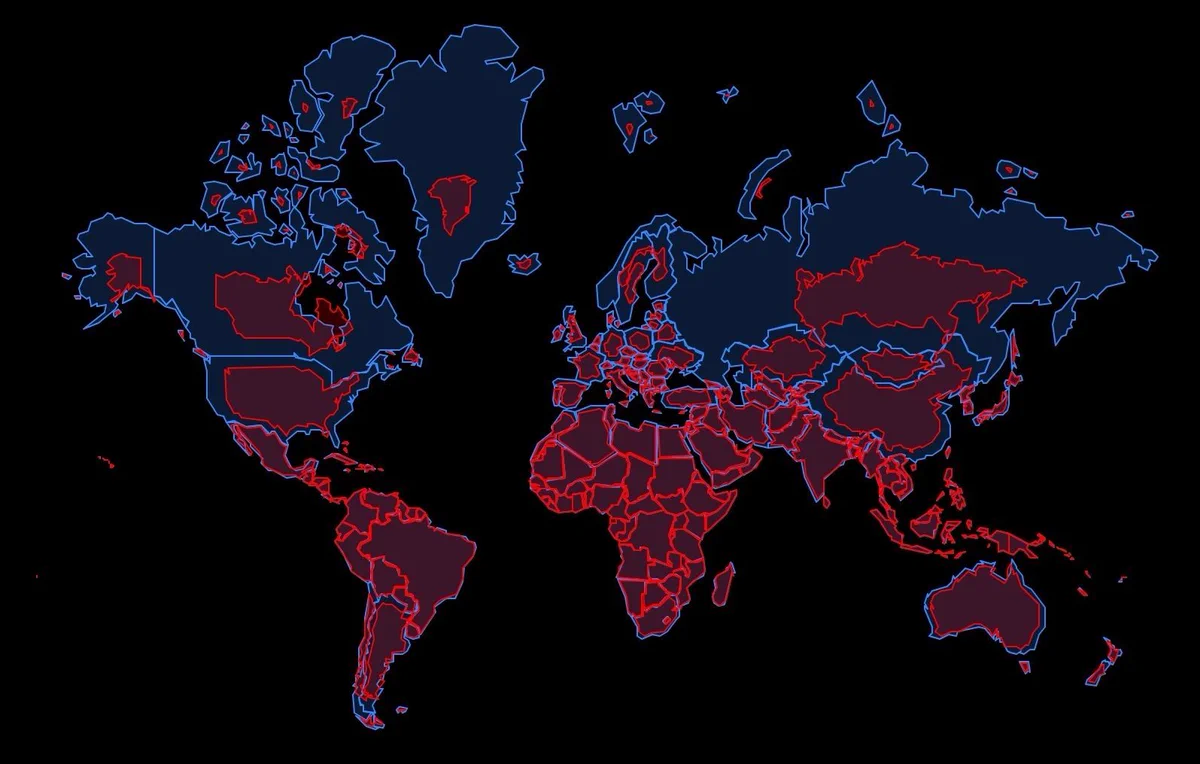
A UN world map endorsed by the UN General Assembly depicts Arunachal Pradesh and Aksai Chin between contesting Indian and Chinese claim lines. The map is linked to a UNGA resolution passed on September 4, 2026, using a base draft authored by UN Geospatial on July 1, 2026. India’s Ministry of External Affairs states that India’s vote supports equal-area cartographic representation and does not endorse any boundary depiction.
UNGA-Endorsed UN World Map:
| Dimension | Key Details |
|---|---|
| Arunachal Pradesh depiction | Shows the northern border with Tibet (China) marked as the “Indian Line”, shows the southern border with Assam as the “Chinese Line”, and eliminates the state boundary with Nagaland. |
| Aksai Chin depiction | Shows the eastern borders marked as the “Indian Line” and the western borders as the “Chinese Line”, separating Ladakh from Aksai Chin. |
| Labels for demarcations | Unlike the 2011 UN map, the July 2026 sheet leaves these demarcations “unspecified” without explicitly labeling them as “claim lines”. |
| Jammu & Kashmir depiction | Depicts Jammu & Kashmir with a dotted line indicating the Line of Control (LoC) and includes an explanatory note clarifying its political status. |
| Notes for Arunachal Pradesh and Aksai Chin | Provides no accompanying explanatory notes for the claim lines drawn around Arunachal Pradesh or Aksai Chin. |
| Kalapani-Lipulekh-Limpiyadhura depiction | Reflects India’s administrative control over the disputed Kalapani-Lipulekh-Limpiyadhura region claimed by Nepal. |
| “Correct the Map” resolution origin | Is initiated by Togo and supported by the African Union. |
| Resolution purpose | Provides for adoption of an Equal Earth cartographic projection to rectify geographical distortion and ensure accurate area representation for developing continents like Africa. |
| UNGA action and base draft | Has been passed in the UN General Assembly on September 4, 2026, using a base draft authored by UN Geospatial on July 1, 2026. |
| Legal status | Is non-binding on sovereign states, but serves as a standard reference outline for multilateral agencies worldwide. |
| India’s voting rationale | Authorises support strictly on the principle of promoting equal-area cartographic representation. |
| India’s position on boundary endorsement | Mandates that voting for the resolution does not constitute endorsement of any specific map, projection, or depiction of national boundaries. |
| India’s position on territorial depiction | Mandates that India’s sovereign territory, including the Union Territories of Jammu & Kashmir and Ladakh, as well as Arunachal Pradesh, must be depicted per India’s official map, and any inaccurate depiction is unacceptable. |