|
China’s Afforestation Belt Around Taklamakan Desert to Check Desertification
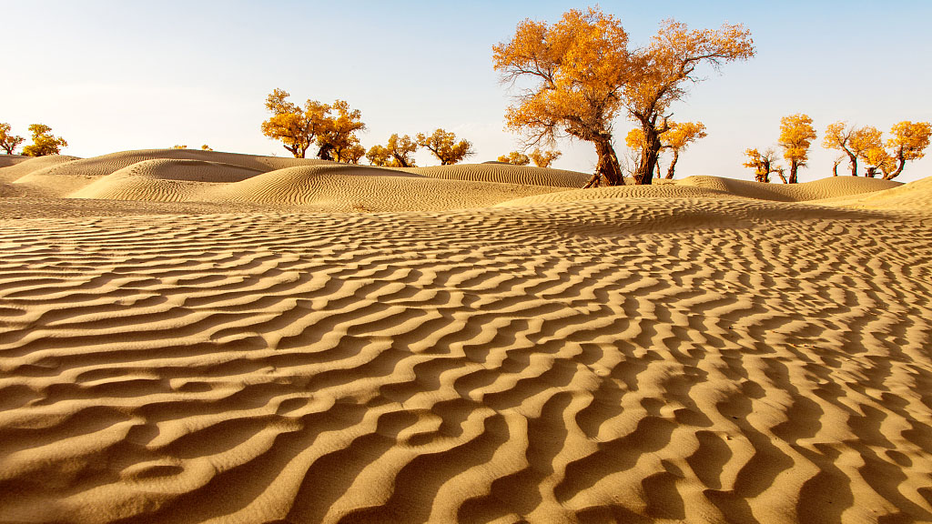
China continues planting trees and other vegetation around the edges of the Taklamakan Desert to stop desertification and hold back shifting sand. The news highlights key physical and climatic features of the Taklamakan Desert in Xinjiang, China.
Taklamakan Desert:
| Dimension | Key Details |
|---|---|
| Location | The Taklamakan Desert comprises a desert in southwest Xinjiang, in northwest China. |
| Physiographic setting | The Taklamakan Desert comprises a desert in the Tarim Basin, described as the largest inland basin in China. |
| Extent and area | The desert comprises an extent of about 960 km from west to east, a maximum width of some 420 km, and a total area of approximately 320,000 sq.km. |
| Desert type | The Taklamakan Desert comprises the world’s second-largest shifting-sand desert. |
| Dune composition | The desert comprises 85% of its total area as crescent-shaped dunes. |
| Major bordering mountain ranges | The desert comprises flanking mountain ranges: Tien Shan to the north, and Kunlun mountain ranges to the south. |
| Neighbouring physical features | The desert comprises neighbouring features: Pamir Mountains and Tian Shan (ancient Mount Imeon) to the west, and the Gobi Desert to the east. |
| Eastern and southern-western transition zones | The desert comprises a gradual transition to the Lop Nur basin in the east, and a band of sloping desert lowland in the south and west composed of pebble-detritus deposits. |
| Climate | The place comprises a typical continental climate with strong gusts of wind, very little precipitation, and a significant shift in temperature from daytime to nighttime and vice versa. |
| Shifting-sand impact | The desert comprises continuously shifting sand, with a southward extension of about 100 km during the last thousand years. |
| Rivers and internal relief | The desert comprises small mountain ranges, and the Tarim River along its northern edge. |