|
Alpena-Amberley Ridge in the Great Lakes
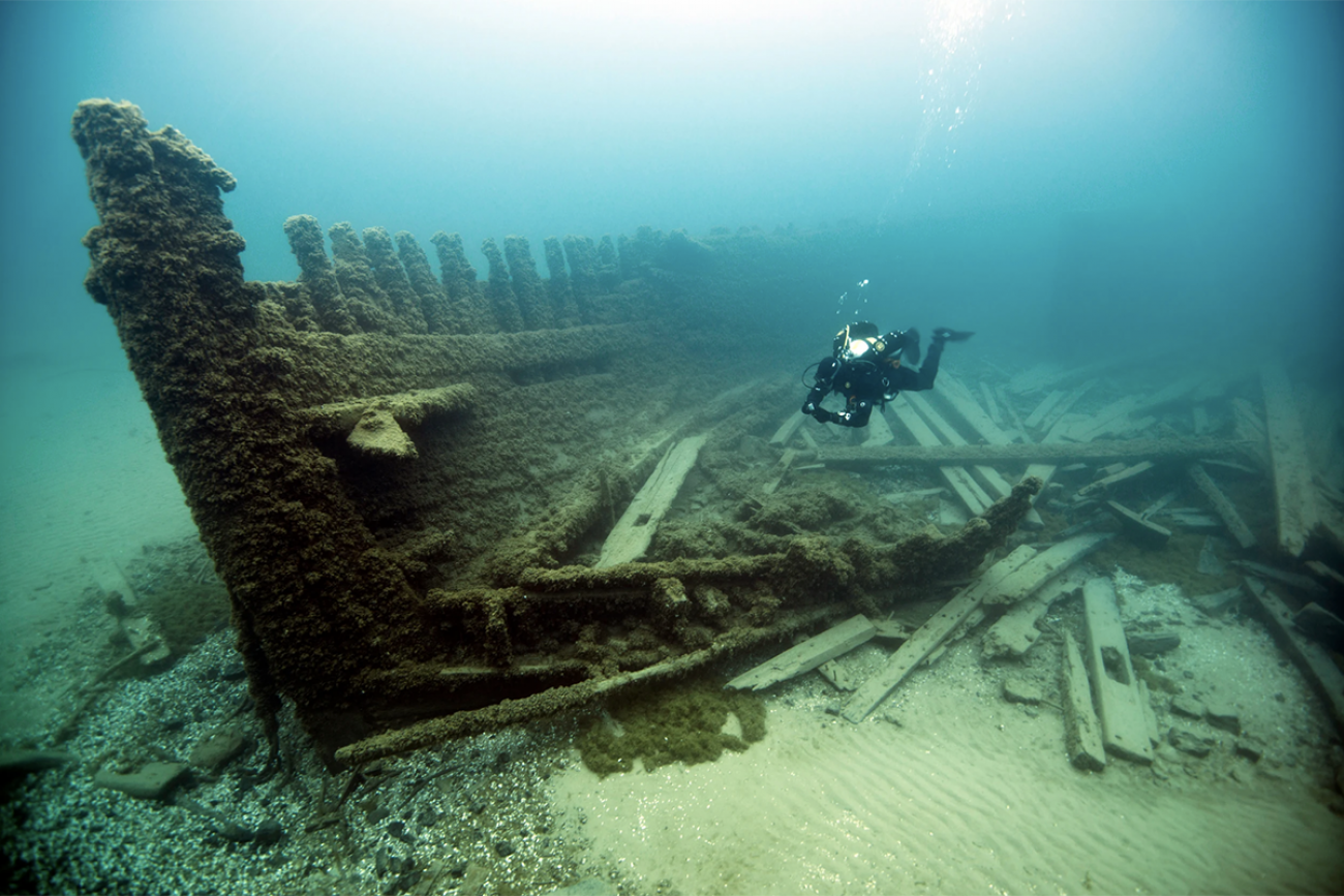
Archaeologists have uncovered a 9,000-year-old submerged landscape beneath Lake Huron, revealing advanced hunting systems used by ancient caribou hunters.
Submerged Paleoindian Site – Alpena-Amberley Ridge:
| Dimension | Key Details |
|---|---|
| Location | Underwater site on Alpena-Amberley Ridge in Lake Huron (Great Lakes region). |
| Age | Approximately 9,000 years old (early Holocene period). |
| Discovery Methods | SONAR mapping and Remotely Operated Vehicles used for underwater archaeology. |
| Archaeological Features | Hunting pits, drive lanes, and stone caches for tool making. |
| Human Significance | Oldest known human activity site at the bottom of the Great Lakes. |
| Hunting Strategy | Drive lanes funnelled caribou into controlled zones, indicating advanced hunting techniques. |
| Preservation | Cold, low-sediment waters preserved structures for millennia. |
| Cultural Insight | Evidence of Paleoindian adaptation during transition to Archaic period. |
| Comparative Evidence | Comparable to modern reindeer herding practices. |
| Geological Context | Former land bridge exposed during last Ice Age, submerged due to glacial meltwater rise (~10,000 years ago). |
| Regional Role | Served as a migration corridor for early human populations. |
| Great Lakes Context | Part of interconnected freshwater system comprising Lakes Superior, Michigan, Huron, Erie, and Ontario. |