|
Uttar Pradesh Completes Physical Demarcation of Ganga Floodplain
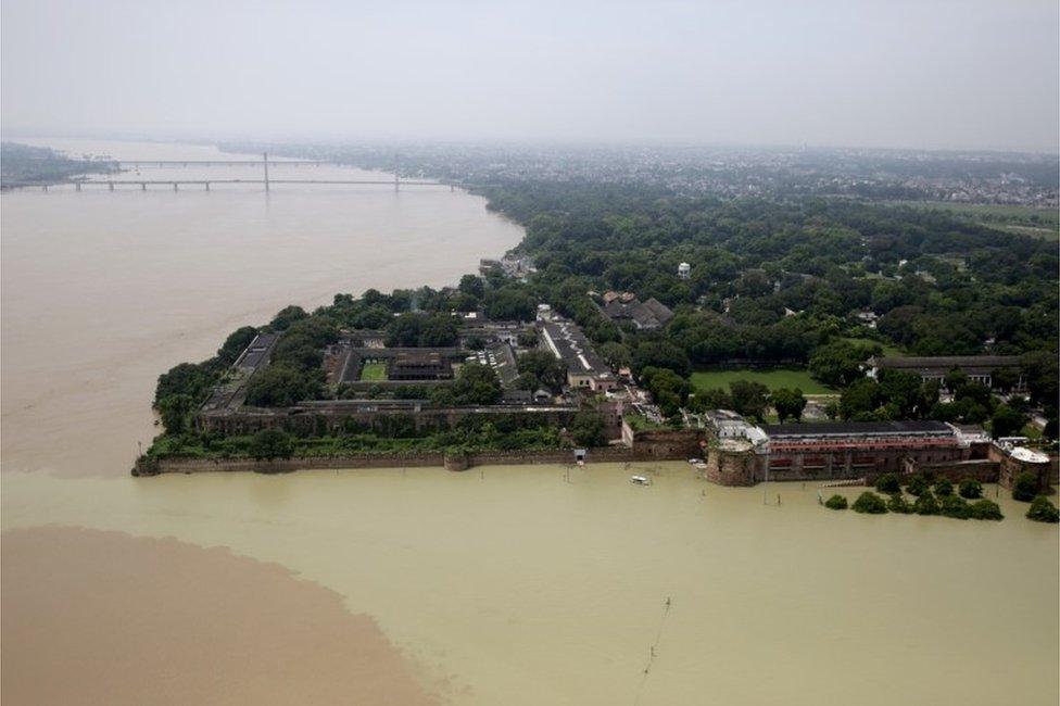
Uttar Pradesh informs the National Green Tribunal (NGT) that physical demarcation of the Ganga floodplain zone is completed along nearly 700 km in the State. The demarcated stretch runs from Unnao to Ballia, covers 13 districts, and installs 7,350 pillars to prevent encroachment and unauthorised activities.
Ganga Floodplain Demarcation in Uttar Pradesh:
| Dimension | Key Details |
|---|---|
| Stretch covered | The demarcation covers the Unnao to Ballia stretch across 13 districts. |
| Quantitative details | The demarcation covers approximately 700 km and comprises 7,350 installed pillars. |
| Purpose | The demarcation provides for identifying and physically marking the floodplain to prevent encroachment, unauthorised construction, and other activities. |
| Legal and institutional linkage | The work supports the objectives of the River Ganga Authorities Order, 2016 and earlier NGT directions. |
| Definition: Ganga floodplain | The Ganga floodplain comprises low-lying land flanking the Ganga river that naturally absorbs excess water during high-flow periods. |
| Ecological functions | The floodplain performs ecological functions: floodwater storage, groundwater recharge, sediment deposition, aquatic and terrestrial habitat, and maintaining the river’s natural flow dynamics. |
| Demarcation process | Demarcation comprises the physical and legal process of mapping, marking, and dividing low-lying land next to the Ganga River that collects overflow during high water. |
| Zonation and authority | Under the National Mission for Clean Ganga via the August 2026 amendment, the government redefines the floodplain into 3 zones based on flood frequency: Active Flood Plain, Regulatory Zone, and Warning Zone. |
| Active Flood Plain | The Active Flood Plain comprises areas submerged at least once every 5 years and is strictly protected. |
| Regulatory Zone | The Regulatory Zone comprises areas flooded once every 5 to 25 years, and construction is allowed with specific approvals. |
| Warning Zone | The Warning Zone comprises areas flooded once every 25 to 100 years, and development is permitted with official clearances. |
| Ganga river system: size and extent | The Ganga river system comprises the largest drainage network in India, spanning 2,525 km from the Himalayas to the Bay of Bengal. |
| Source and naming | The Ganga starts as the Bhagirathi from the Gangotri Glacier at Gaumukh in Uttarakhand. |
| Formation | It becomes the Ganga at Devprayag after joining the Alaknanda river. |
| Physiographic transition point | The Ganga leaves the mountains and enters the plains at Haridwar. |
| States traversed | The Ganga flows through Uttarakhand, Uttar Pradesh, Bihar, Jharkhand, and West Bengal. |
| Termination and delta | The Ganga empties into the Bay of Bengal after forming the world's largest delta, the Sundarbans, with the Brahmaputra river. |