|
Japan Discloses China-Russia Live-Fire Drills Near Okinotori Island
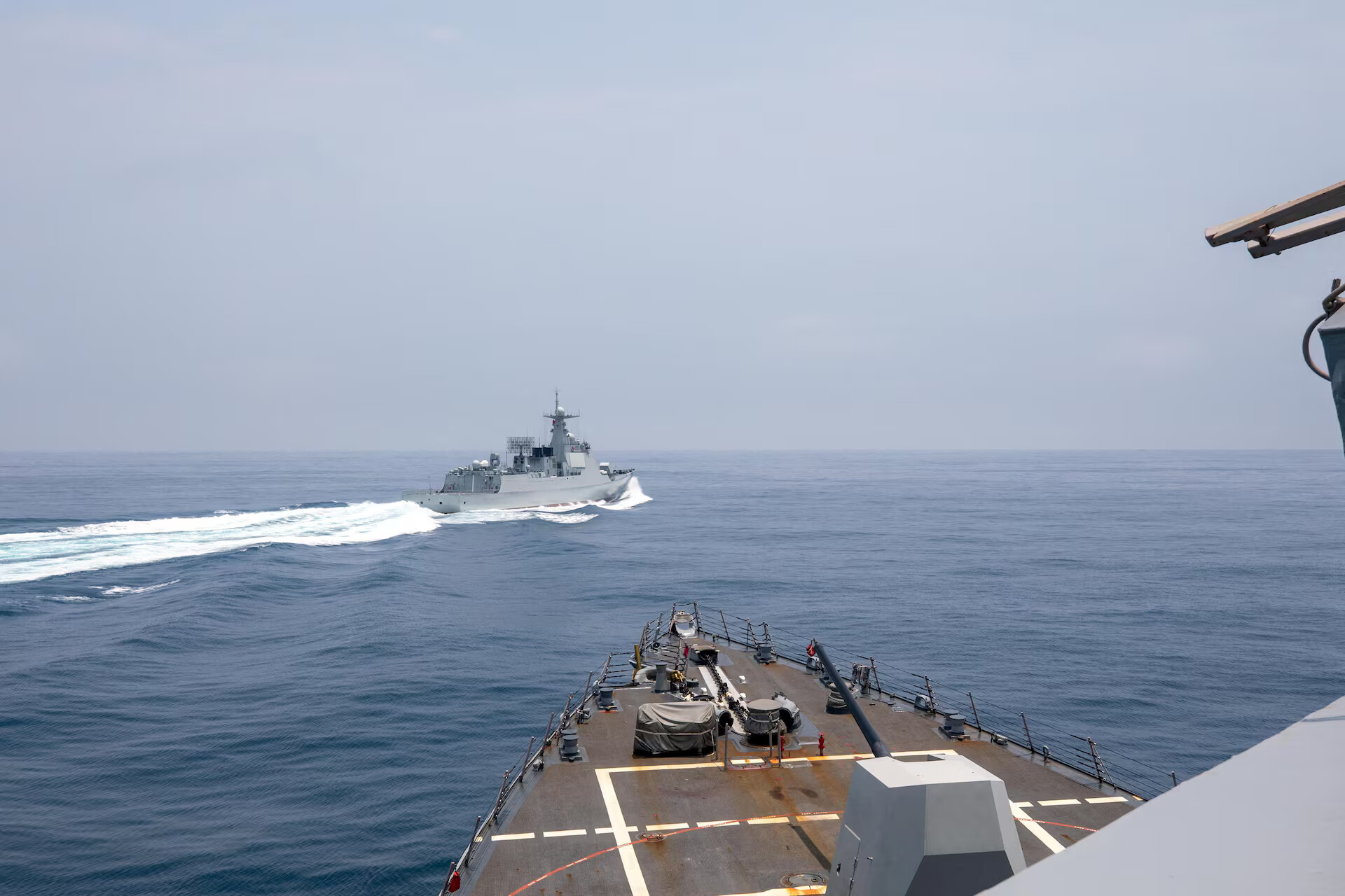
Japan discloses that a Chinese navy destroyer, alongside Russian vessels, conducts live-fire drills near Japan’s Okinotori Island. This is presented as the first such disclosure by Japan concerning live-fire drills near Okinotori Island.
Okinotori Island (Japan):
| Dimension | Key Details |
|---|---|
| Alternate name | Okinotori comprises an alternate name, Parece Vela. |
| Type and habitation | Okinotori comprises a tiny, uninhabited island that belongs to Japan. |
| Location | Okinotori comprises a location in the Philippine Sea, which comprises part of the Pacific Ocean. |
| Physical geography | Okinotori comprises an atoll, which comprises a ring-shaped coral reef with a lagoon in the middle. |
| High-tide feature | At high tide, Okinotori comprises only 2 tiny rocky outcrops remaining above sea level. |
| Physiographic setting | Okinotori comprises part of the Palau-Kyushu Ridge, described as a long underwater mountain range. |
| Administrative grouping | Okinotori comprises part of the Ogasawara Islands governed by Japan. |
| Extremity and distance | Okinotori comprises Japan’s southernmost island and comprises a location about 1,700 kilometers south of Tokyo. |
| Latitudinal reference | Okinotori comprises the only Japanese territory south of the Tropic of Cancer and comprises a position south of Hong Kong and Taiwan. |
| Maritime claim | The waters around Okinotori comprise Japan’s claimed Exclusive Economic Zone (EEZ), and China does not agree with Japan’s claim over this specific EEZ. |
| Strategic position | Okinotori comprises an important spot for military and shipping routes and comprises a position about halfway between Taiwan and Guam, an island territory of the United States. |